Look at all the water left behind by the rain yesterday!!

HA HA! Just warming you up with a puddle.
After work this afternon, we drove down to Sherbrooke so Jeff could show me how flooded the St. Marys River is after yesterday’s downpour.
The lake we live on, Lochaber, empties into a creek that connects to a little lake, then to Locheil Lake to our south. Eventually the water makes its way into the mighty St. Marys River, known for generations for its famous salmon fishing (fished even by the likes of Babe Ruth) (no salmon left) (wasn’t Babe’s fault). The river passes Sherbrooke, where Jeff works, and empties into the Atlantic Ocean.
I started taking photos just past Aspen, along Highway 7.
This entire area is usually just a grassland. The St. Marys River is beyond it. Today it is full of water. It looks like spring run-off, but all of this water is from one massive downpour we had yesterday afternoon.


This is where Jeff said the bridge was under water this morning and a guy was paddling that canoe. Jeff wonders if some of his woodpile was taken away by the force of the water.

This river was right to the bottom of the bridge, just below the surface of the road this morning.


Can you see that big lone tree near the back of the water? The river is usually only on the far side of that tree. All that water in front, up until the road, is all flood water.


That little camp on the far side is surrounded by water. We used the binoculars to see the water was just an inch or so below the bottom of the door, but the current going around the camp was really swift.

The river is usually only on the far side of these trees too:


Here the water had been right over the road. Jeff said there were a few places, right after the rain, where there was 6-8 inches of water covering the highway.


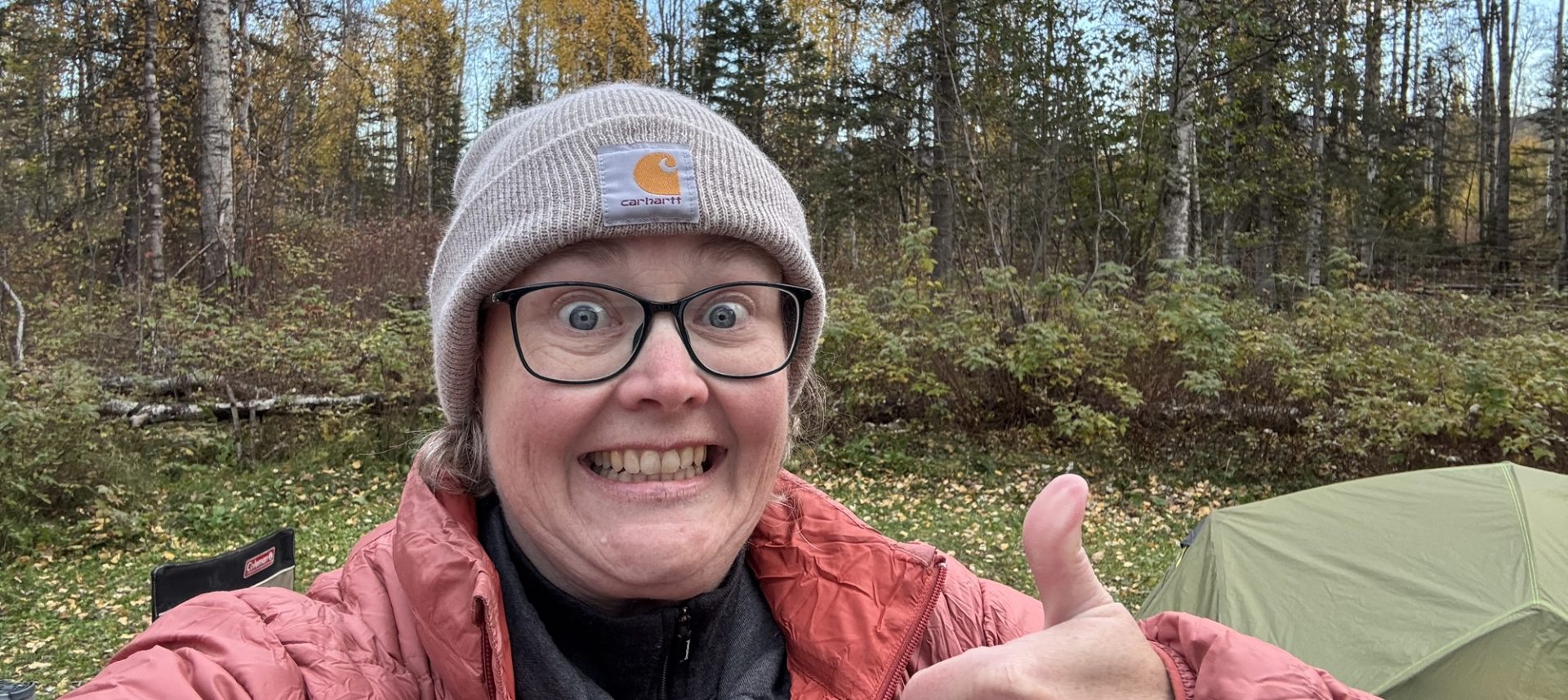
Might be the first time I caught myself twice in a photo I was taking.


We’ve already taken this road before when it was closed due to flooding so I opted out this time.

There were people all over stopping to take photos too. We saw vehicles from New Brunswick, Ontario, and one from New York along the river.

The river got really turbulent where there are usually big rocky rapids.


We drove down into Sherbrooke where Highway 7 turns and crosses over the river. Here is the St. Marys River looking northwards (upstream).


We turned around in the always-busy liquor store, and headed back home.

Here’s the river looking downstream (south) towards the ocean.


I think everyone in Sherbrooke is trying to scare the poop out of skittish people (me). There are scarecrow scary manikins EVERYWHERE. Even the water treatment building had one on the front lawn.

Here’s that place where the water was closed to the pavement, 24 hours after the worst of the rain.


Discover more from LISA.BLOG
Subscribe to get the latest posts sent to your email.
get a job in Sherbrook and you don’t need a car you can just paddle to work. Coming home may take a bit more effort. Look on the good side you would be in great shape in no time.
I wonder if anyone has tried that. Probably. They used to pile logs on these lakes during the winter and then drive them down to Sherbrooke during the spring run-off.